 Distance: 11.3km
Elevation: 50m
Level: intermediate
How to get there:
This route is only accessible by car.
By car: there is parking opportunity in the center of Meldert, near the church, this is the starting point of the tour. The address of the starting point is Sint-Laurentiusstraat, 3320 Hoegaarden.

Description:
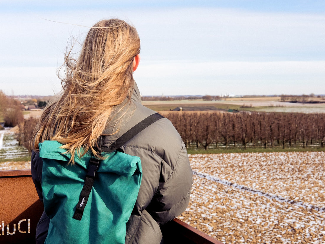
If you like to take a moment to be away from it all, then this hike is perfect for you! Meldert is beautiful small town not too far from the city of Hoegaarden (you might know it from the beer) at the border between Flanders and Wallonia. Aside from a few bars and a friterie the town has not too much to offer, but it's exactly the tranquility that makes this hike so special. The tour starts of in the southwest direction, towards a small forest area, where you will find a magnificent (recently renovated) castle, that now is used as a school, the Sint-Janscollege. After the small forest that surrounds the castle, the trail takes you through the fields and meadows, with occasionally some horses, a house or two and some trees. You probably won't find tourists here, the people passing by are most likely to be locals. When the trail almost reaches its end, you will pass by a strange-looking monument, a weathered steel tower engraved with the names of apples and pears that are grown in the surroundings. If you have the time, I recommend taking the stairs and enjoy a beautiful panoramic view over the fields.
A special thanks to Karst Van Coillie and Karolien Verbraeken for mapping out the route, and for guiding us through it.