
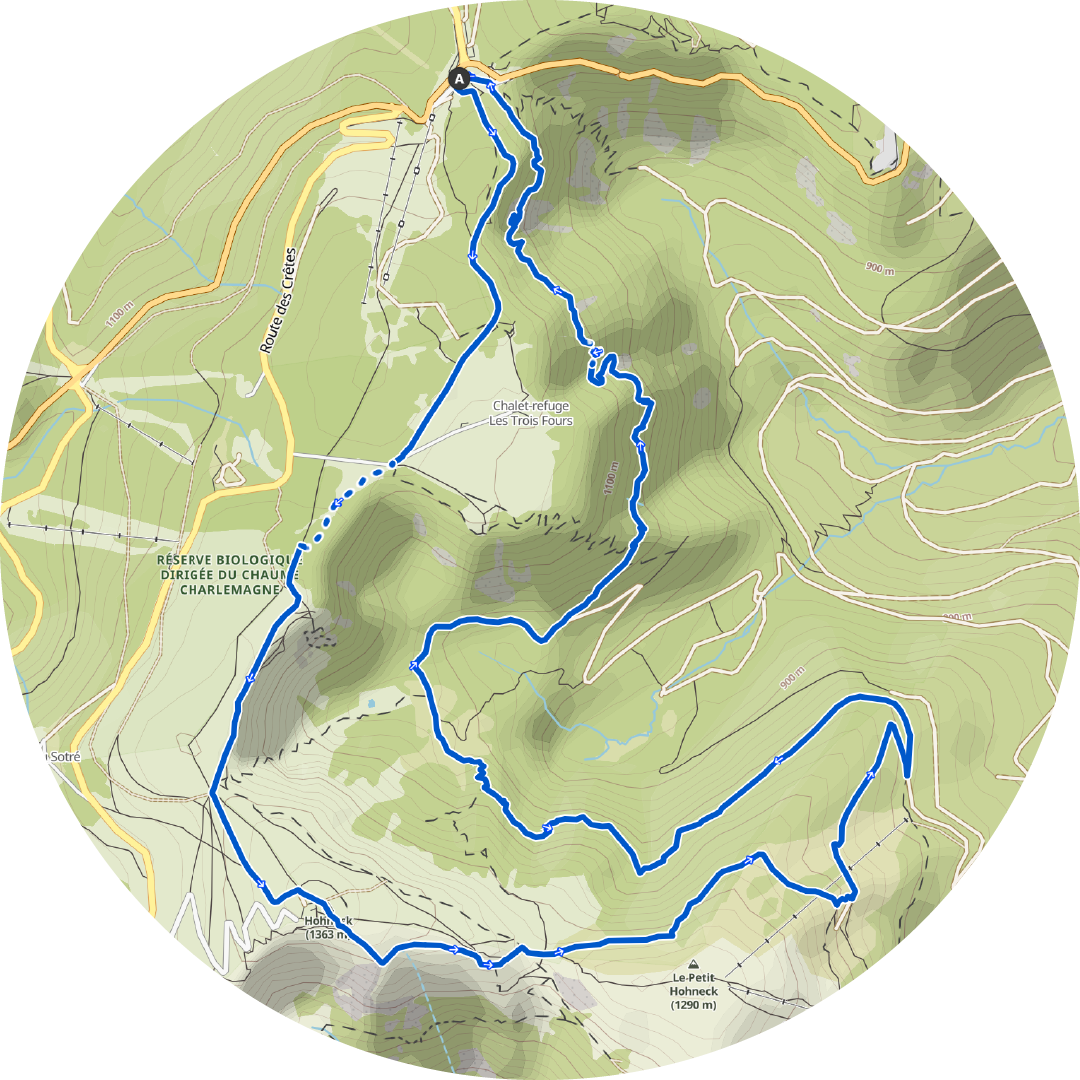
Distance: 13.4km
Elevation: 600m
Level: Difficult
How to get there:
By car: The hike starts at the parking at Col de la Schlucht. A lot of trails start here and there is a lot of space, and even a public toilet.
Description:
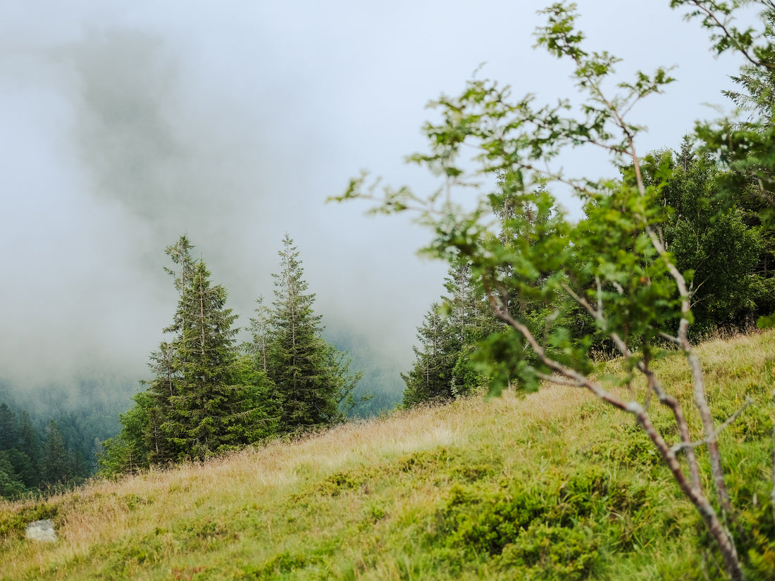
Le Hohneck and Sentier Des Roches, the third highest mountain and one of the most famous trails in the Vosges mountain range. All combined into one hike, a very challenging hike that is. Honestly, looking at the specs it isn't to much of a challenge, but it really is! We had some bad weather (rain, fog), so that might have influenced it a bit. At certain points we could see that some beautiful scenery was hiding behind the thick fog, but we just couldn't see it. However the bits of scenery that we could see were majestic. I'm sure that on a clear day the views won't disappoint.

It doesn't take a lot of time before the ascent of le Hohneck starts. In about 3km in the hike, you'll reach the summit of Le Hohneck. It isn't that much of a climb, but the view should be stunning! Of course we only saw a thick fog since the weather was bad. Then it continues down for a little, and after that the trails leads on the side of the mountains with small climbs and descents. The further you go the trickier the trail gets. At a certain point you'll start walking on 'Les Sentiers Des Roches', a very tricky but beautiful trail. Be warned, at bad weather conditions the trail gets very slippery and at certain spots you'll be walking on very small ledges with very deep cliffs. If you are afraid of heights I definitely do not recommend doing this trail, especially in rainy conditions. But if you are looking for an adventurous hike with some challenging parts, this is definitely for you!