Tour des quatre lacs / Hike of the four lakes (Vosges, France) - 19.1km

Tour des quatre lacs / Hike of the four lakes (Vosges, France) - 19.1km

beautiful landscape on top of the mountain ridge

Distance: 19.1km 
Elevation: 
570m 
Level:
 Difficult

How to get there: 

By car: The hike starts at the parking lot of lac noir, there are not an awful lot of spaces there but there is also space on the side of the road right next to it.

map of route des quatre lacs

Description:

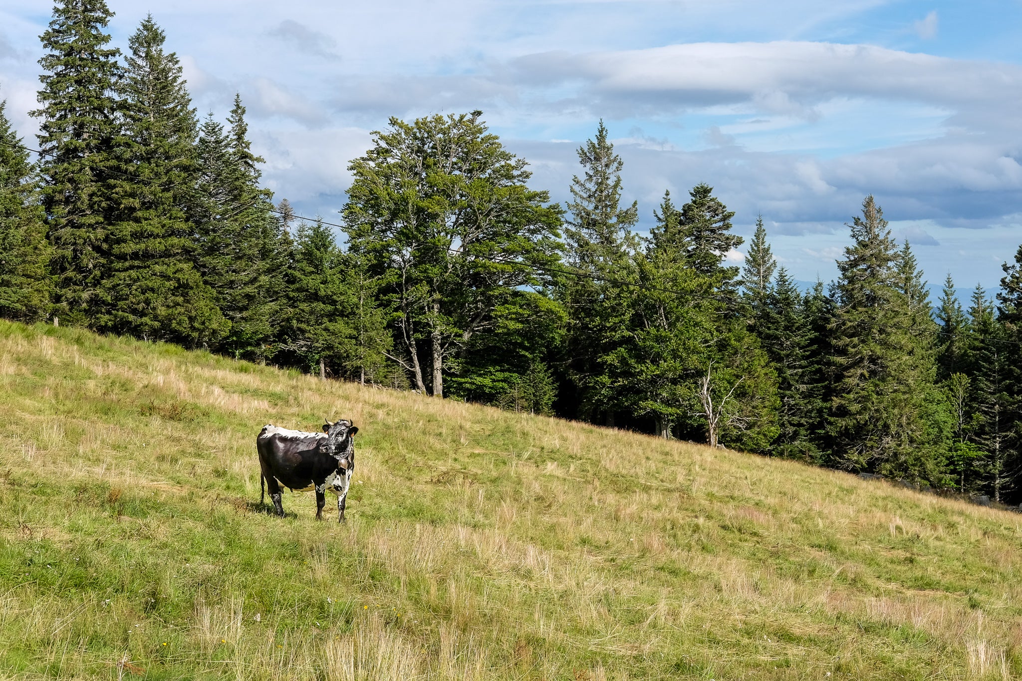
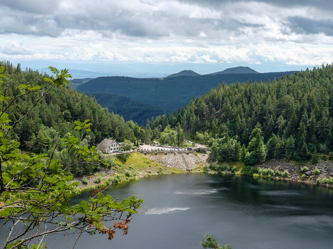
'Tour des quatre lacs' a quite long and challenging hike in the middle of the low mountain range 'Vosges' in France. As the name suggests it goes past 4 different lakes: 'lac noir' (black lake), 'lac blanc' (white lake), 'lac vert' (green lake) and 'lac du Forlet'. While the names of the lakes might seem very monotonous, the hike itself is the exact opposite. A combination of thick forest, mountain trails and even a straight run on a beautiful high plateau makes this a long but definitely interesting hike with nice variation of scenery. 

a 'vosgien' cow specific of the region in a mountainous scenery
During high season the trail can be a bit crowded but only at certain spots, most of the hike is pretty calm. What you will definitely pass are the 'vosgien' cows, cattle that is very specific for this region. They can be recognized by their typical large black spots on both the left and the right sides, it almost looks like they were dip dyed on each side in a sloppy manner.
The trail can get challenging at times so a certain level of sure-footedness is recommended to do this hike. 
collage of photos of tour de 4 lacs
Like what you see? Be sure to follow us on Instagram!
Check out the route description on Komoot or download the GPX-file.
Back to blog

Leave a comment